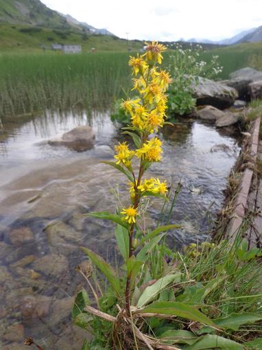
Rundwanderung St.Michael-Katschberg
St. Michael, Salzburg
Description: Route description: We go downhill along the Marktstraße as in trail no. 90, passing the Hotel Wastlwirt, then turn left into Scheidergasse. Along this, we cross the federal highway and walk on the field path to the Mur bridge. Immediately after this (Murerweiterung), downstream of the river, we continue to the next bridge. Here, turn right until the forest (Herbert Bayer – Weg) and continue on the forest road uphill. After about 1 to 1½ hours, we reach an altitude of approximately 1650 meters and encounter trail no. 111. Here, we can decide to take the left path no. 111/AC (see there) to the Branntweinerhütte or Kösselbacheralm, or to hike to Katschberghöhe on trail no. 99/A/C, always slightly downhill and uphill, (about 1½ hours). Several times, we can enjoy the magnificent view of the holiday resort St. Michael and the surrounding area. At the pass, our path passes by the hotel "Alpenhaus.Katschberg.1640" to the ski slopes down to the village Glashütte – to trail no. 95 – and subsequently back to St. Michael in the town center.
Map & directions
Events nearby
Upcoming events within 10 km.

Experiences
Tours & activities in Salzburg
Guided tours, tickets and experiences in Salzburg — bookable via GetYourGuide.