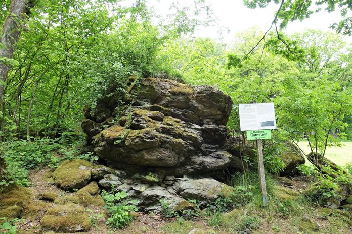
 Photo: (MGDE)
Turnstein
Natternbach, Upper Austria
At an altitude of 648 meters above sea level, the Turnstein is one of the highest elevations in the market town of Natternbach and is located exactly on the municipal border between Kopfing and Natternbach. It thus simultaneously separates the Innviertel from the Hausruckviertel and was also the old border to Bavaria until 1779. From the Turnstein, you have a beautiful view of the hilly pre-Alpine region and, in good visibility conditions, far out into the Alps.by car:Motorway A8 to exit Pichl bei Wels. Then continue via Grieskirchen and Peuerbach.by train:Accessible via Peuerbach train station, 7 km away.by plane:Linz, Salzburg and Munich airports
Map & directions
Anzeige
Events nearby
Upcoming events within 10 km.



Experiences
Tours & activities in Oberösterreich
Guided tours, tickets and experiences in Oberösterreich — bookable via GetYourGuide.