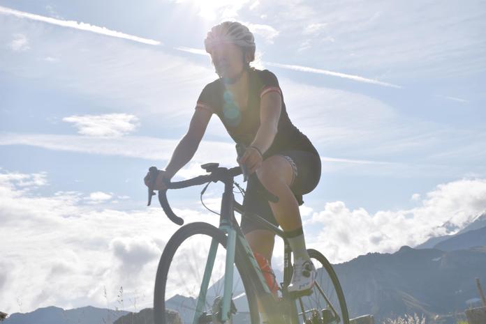
 Photo: Tourismusverband BRUCK FUSCH | GROSSGLOCKNER/Lake Promotion
Tauernradweg | Bruck - Schwarzach
Bruck-Großglockner, Salzburg
Tauernradweg | Bruck - Schwarzach Length of route: 30.2 km | Travel time: 2 hours 30 minutes This stage of the Tauernradweg describes the route from Bruck to Schwarzach. Before setting off from Bruck, take a moment to look south into the mountains. The Glocknerstraße, which runs through the increasingly narrow valley here, leads up into the Glockner massif, almost reaching the Großglockner – Austria's highest mountain at 3,798 meters. The road over the route to Franz-Josefs-Höhe is a very popular challenge for cyclists. From here, it is only 7 km to the town center of Fusch, with an ascent of 58 meters. A detour to Fusch would therefore be possible with just a 30-minute ride from here. Simply follow the signs for Radweg Grossglockner. However, today you will stay down in the valley and set out to complete the 31 kilometers of this third stage: this section was significantly improved between 2019 and 2022 with the new bike path near Taxenbach and new through-town routes. Now you are already cycling uphill in Lend towards the entrance of the Gastein Valley, which also connects to the Alpe Adria Radweg. Here, you will enjoy a magnificent panoramic ride high above the Salzach Valley to the so-called balancing pond and down to Schwarzach.
Map & directions
Events nearby
Upcoming events within 10 km.

Experiences
Tours & activities in Salzburg
Guided tours, tickets and experiences in Salzburg — bookable via GetYourGuide.