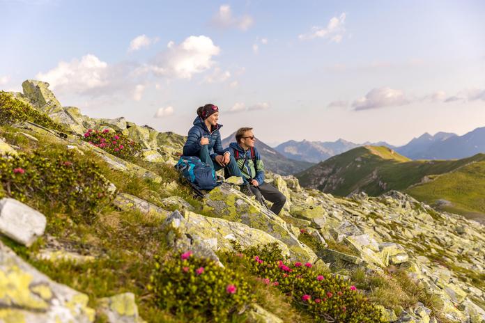
 Photo: TVB Salzburger Lungau Katschberg
Rundwanderweg Speiereck
St. Michael, Salzburg
Route description: At the pharmacy (narrow alley), we reach Leitnergasse. Slightly uphill, we arrive at an abandoned farmstead "Leitnerbauer" and then the old "Granglergut". There, we encounter trail No. 92, the Mühlsteig. Our path runs uphill to the lower "Piendl-Alm" (ruin) at 1,322 m above sea level (about ½ hour). There, we go left between the ruin and a well, climb over the fence, and hike along the well-marked trail upward. Continuing on to the Speiereck – Halterhütte at 1,933 m above sea level with a rest area (about 2 hours). From here, you can extend the hike: a) on the marked trail to the Speiereck summit (2,411 m) easily (about 1 hour from the hut), or b) from the hut to the right to the "Peterbauer Almstub'n" at 1910 m and further to the Trogalm hut at 1809 m. From the Trogalm, we reach a chairlift valley station and descend somewhat steeper into the Grubental at 1,538 m. There, turn right, see trail description No. 93, over the "Sonndörfl" back to St. Michael. Alternatively, follow trail No. 94 along the forest road past a hunting hut, downhill to the lower Piendl-Hütte, where the trail ends. Here, the descent leads into the town of St. Michael.
Map & directions
Events nearby
Upcoming events within 10 km.

Experiences
Tours & activities in Salzburg
Guided tours, tickets and experiences in Salzburg — bookable via GetYourGuide.