 Photo: WGD Donau Oberösterreich_Projektkraft
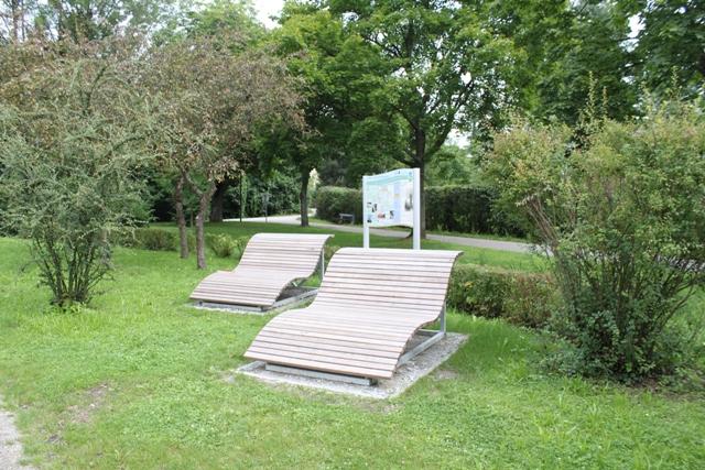
Rastplatz Spielplatz Mittergraben
Eferding, Upper Austria
Eferding on the Danube? Until about 200 years ago, the Danube was a wild, unregulated river with many tributaries and side arms. There were erosions and land accretions due to floods, which caused a constant shifting of the arms. At that time, agricultural use was only possible in the marginal areas of the flood plain. Arable farming and fruit growing can be traced back to the monasteries. Vegetable cultivation has a long tradition; already in the 17th century, there was talk of "Umurken" (cucumbers) and "Caruil" (cauliflower). Old maps show that Eferding was much closer to the Danube than it is today. This location favored its development into an important center for trade and crafts. The markets for vegetables, fish, and livestock shaped the lively economic life of the city in the middle of the country. As a seat of power and also a spiritual center, churches and the castle still define the cityscape today. The Eferding church tower is a steadfast and loyal city dweller. Its history can be read in the Danube legend "When Church Towers Wander." The Mittergraben rest and playground is located not far from the Schaunberg castle ruins.
Map & directions
Events nearby
Upcoming events within 10 km.


Experiences
Tours & activities in Oberösterreich
Guided tours, tickets and experiences in Oberösterreich — bookable via GetYourGuide.