 Photo: grossglockner.at
Radweg Glocknerstraße
Bruck-Großglockner, Salzburg
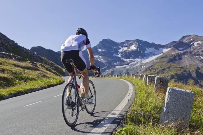
Bike path from Bruck to Fusch Distance: 7.2 km | Travel time: 30 minutes This bike path runs approximately 7 km from Bruck to Fusch, with an elevation gain of 58 m. The paved route follows the Fuscher Ache into the valley, offering a breathtaking view of the mountain landscape. You can get a sense of where the Großglockner — Austria's highest mountain — is hidden. In Fusch, there are several restaurants or mountain huts (Almen) to stop for a break. For those who want more, you can continue cycling to Bad Fusch at 1,186 m altitude. The 4 km stretch is half asphalt and half gravel. At the top, there is a snack station, a Kneipp facility, and much more. From the town center of Fusch, it is about 7 km to the toll booth of the Großglockner High Alpine Road in Ferleiten. The Großglockner is a popular challenge for many sports enthusiasts. The Kaiser-Franz-Josefs Höhe can be reached in 34 km with an elevation gain of 2,502 m. TIP for the drive on the Großglockner High Alpine Road: * Take advantage of the cool breeze in the morning * Bike after the midday heat
Map & directions
Events nearby
Upcoming events within 10 km.

Experiences
Tours & activities in Salzburg
Guided tours, tickets and experiences in Salzburg — bookable via GetYourGuide.