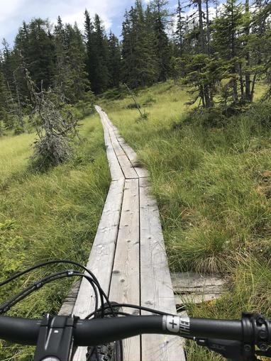
Mountainbikeweg - Leißnitz Route 15
St. Margarethen, Salzburg
mountainbikeradfahren
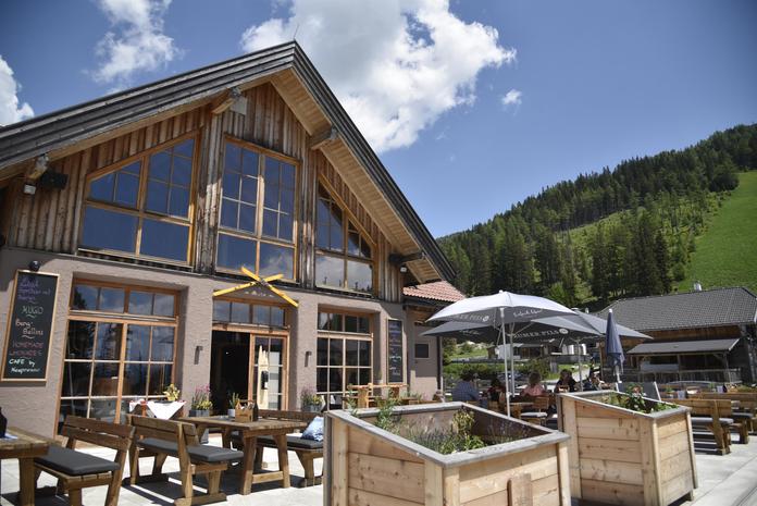
The Leißnitz Route starts in St. Margarethen near the municipality - steep ascent past the Esseralm (km 5.2) - end of the climb at km 6.5 - then a few hundred meters of gentle downhill to the Bonner Hütte junction (km 6.9) - back on the approach road. There is a refreshment opportunity at the Neue Bonner-Hütte. The Leißnitz Route is 6.9 km long (one way), from 1050 m to 1750 m altitude, with an elevation gain of 700 meters.
Map & directions
Events nearby
Upcoming events within 10 km.


Experiences
Tours & activities in Salzburg
Guided tours, tickets and experiences in Salzburg — bookable via GetYourGuide.