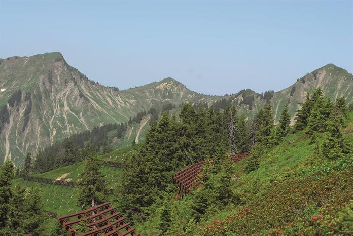
 Photo: Gemeinde Blons
Lawinenwege Blons
Blons, Vorarlberg
Three memorial trails and an avalanche documentation center with video and image material commemorate the avalanche disaster of 1954. At the starting point, there is a detailed info folder with trail descriptions, but anyone who truly wants to learn about avalanches should hire a guide. Starting point for all three trails: Blons (Avalanche Documentation Center in the community center) Leusorg Trail: 6 km, approx. 2 - 3 hours, 260 meters elevation gain Schutzwald Trail: 4 km, approx. 2 1/2 hours, 250 meters elevation gain Verbauungs Trail: 3.5 - 4 km (depending on the route), approx. 2 1/2 hours, 250 meters elevation gain
Map & directions
Anzeige
Events nearby
Upcoming events within 10 km.


Experiences
Tours & activities in Vorarlberg
Guided tours, tickets and experiences in Vorarlberg — bookable via GetYourGuide.