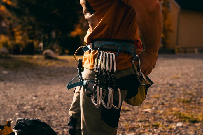
 Photo: Alpenregion Bludenz Tourismus GmbH, Robert Bohnke · Robert Bohnke
Klettergarten Bürs
Bürs, Vorarlberg
Directions: Bludenz Mitte/Bürs motorway exit, then left towards Bürs, into the town center and to the entrance of the Bürser Schlucht (gorge), which is visible from afar. Drive all the way to the power station and park to the right of the power station. Further parking options towards the town center and at the Steinbruch sector. Approach: From the car park, follow the hiking trail approx. 20 m into the gorge, then take a narrow, well-trodden footpath up to the left to the "Bürser Verschneidung" sector. 100 m to the left is the "Bürser Pfeiler" sector, which is currently closed; keeping right, follow the base of the wall to the other sectors. To the "Bürser Platte" sector, go 200 meters out of the gorge towards the center. The sector is clearly visible on the left side (a huge smooth slab). Rock/Rock structure: Conglomerate with many holes, sharp-edged pebbles and ledges. Athletic climbing dominates. Mostly long endurance routes; good technique is rarely required. Difficulty: Especially for ambitious climbers with endurance and courage. Extreme sport climbing routes, numerous moderately difficult routes and a few easy classics. Protection: Mostly very good with glue-in bolts and stainless steel hangers as well as chains at belay stations.
Map & directions
Anzeige
Events nearby
Upcoming events within 10 km.


Experiences
Tours & activities in Vorarlberg
Guided tours, tickets and experiences in Vorarlberg — bookable via GetYourGuide.