Hohe Tauern Panorama Trail Etappe 16
Raurisertal, Salzburg
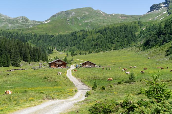
Stubnerkogel. Kolm-Saigurn to Gasteinertal Distance: 22.4 km / Duration: 6:00 h / Elevation gain: up 1,127 m / down 501 m Getting up early pays off today, because the trail from Kolm Saigurn leads over Bockhartscharte (2,226 m), Miesbichlscharte (2,238 m), and Zitterauer Scharte (2,182 m) into the Gasteinertal, an excellent high-altitude hike. Along the way, there are beautiful alpine meadows as well as the two Bockhart lakes. From Stubnerkogel with the spectacular suspension bridge, there is a magnificent view of the world-famous spa town Bad Gastein. The waterfall in the middle of the town is probably one of the most photographed in the entire country. From Stubnerkogel, you can go on foot or by cable car down into the valley. If weather conditions do not permit this stage, an alternative route is recommended. Further information and brochures are available at the tourism office or at hohetauerntrail.at.
Map & directions
Events nearby
Upcoming events within 10 km.


Experiences
Tours & activities in Salzburg
Guided tours, tickets and experiences in Salzburg — bookable via GetYourGuide.